

Image Credit: NASA Goddard MODIS Rapid Response Team
Wind shear has kicked in and has been pushing clouds and showers away from Tropical Cyclone Nilofar’s center. NASA’s Aqua satellite captured an image that showed the effects of the shear on Oct. 29.
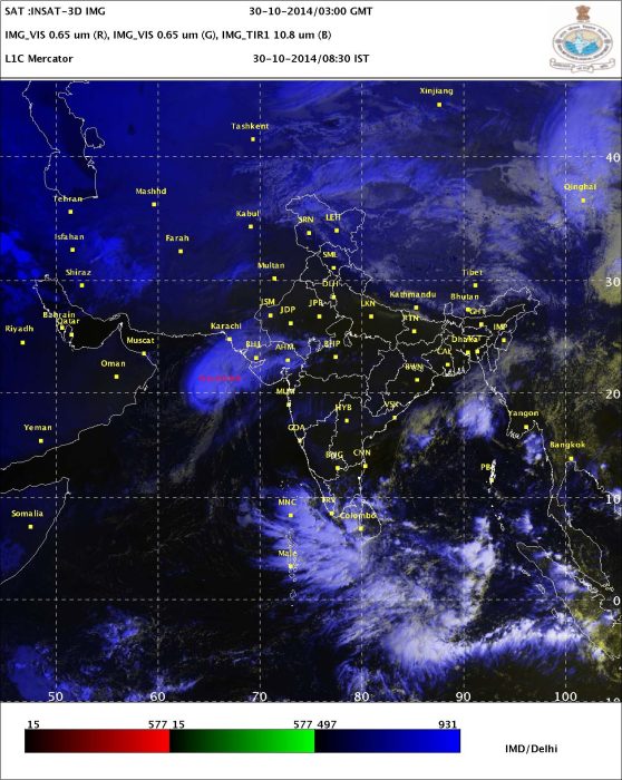
The Moderate Resolution Imaging Spectroradiometer aboard NASA’s Aqua satellite captured an image of Tropical Cyclone Nilofar on Oct. 29 at 09:00 UTC (5 a.m. EDT). Tropical Cyclone Nilofar is moving through the Arabian Sea. The image shows that clouds were being pushed to the northeast of the center of the storm, from strong southwesterly wind shear.
On Oct. 29 at 1500 UTC (11 a.m. EDT), Nilofar had maximum sustained winds near 90 knots (103.6 mph/166.7 kph) and slow weakening is expected over the next couple of days. Nilofar was centered near 19.5 north latitude and 62.5 east longitude, about 205 nautical miles (236 miles/380 km) east-southeast of Masirah Island. Nilofar was moving to the north-northeast at 6 knots (6.9 mph/11.1 kph).

India’s Regional Specialized Meteorological Service or RSMC forecast said Cyclone Nilofar is expected to move northeastward and cross north Gujarat and the adjoining Pakistan coast around Naliya by the night time hours on Oct. 31, but as it approaches the Gujarat Coast it is expected to weaken to a depression.
Although one of the computer forecast models calls for dry air to move into the system and possible dissipate it over the ocean, the consensus suggests a landfall. The Joint Typhoon Warning Center forecast calls for Nilofar to weaken to a tropical storm and make landfall near the India/Pakistan border late on Oct. 31 (UTC).
Word power :
Wind shear: Wind shear, sometimes referred to as windshear or wind gradient, is a difference in wind speed and direction over a relatively short distance in the atmosphere. Wind shear can be broken down into vertical and horizontal components, with horizontal wind shear seen across fronts and near the coast, and vertical shear typically near the surface, though also at higher levels in the atmosphere near upper level jets and frontal zones aloft.
Wind shear itself is a microscale meteorological phenomenon occurring over a very small distance, but it can be associated with mesoscale or synoptic scaleweather features such as squall lines and cold fronts. It is commonly observed near microbursts and downbursts caused by thunderstorms, fronts, areas of locally higher low level winds referred to as low level jets, near mountains, radiation inversions that occur due to clear skies and calm winds, buildings, wind turbines, and sailboats. Wind shear has a significant effect during take-off and landing of aircraft due to its effects on control of the aircraft, and it has been a sole or contributing cause of many aircraft accidents.
Sound movement through the atmosphere is affected by wind shear, which can bend the wave front, causing sounds to be heard where they normally would not, or vice versa. Strong vertical wind shear within the troposphere also inhibits tropical cyclone development, but helps to organize individual thunderstorms into longer life cycles which can then produce severe weather. The thermal wind concept explains how differences in wind speed at different heights are dependent on horizontal temperature differences, and explains the existence of the jet stream.


Many people while dieting should remember fondly the importance of developing a good diet because it accelerates
the whole process of losing weight while supplying one’s body
with all the essential nutrients and vitamins that one must keep on together with his daily life.
When you are looking for a diet, if it is something you cannot
be able to sustain search for another one. It’s not as simple
as checking the label looking for sugar.